Arbitrary Boundaries
Externally imposed neighborhood boundaries can undermine community building efforts.
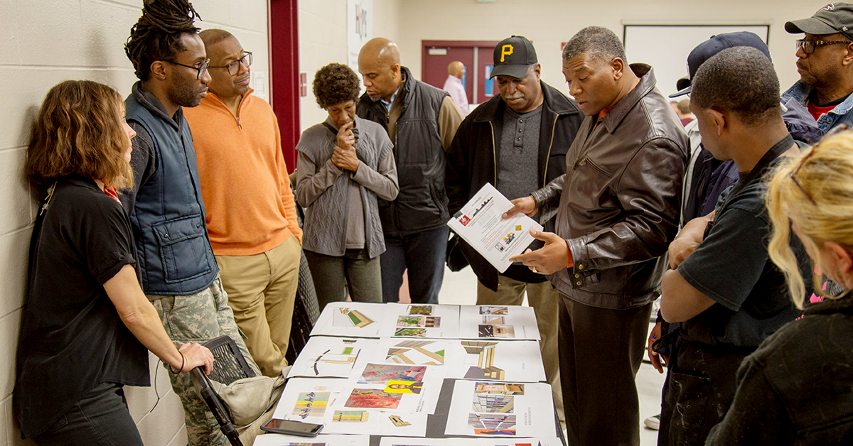
For policymakers, funders and front-line professionals, this report describes how to involve residents in place-based strategies that address the needs of disadvantaged children and families. Despite growing recognition that place matters, defining neighborhoods as they are experienced by residents is challenging; this report shows how to engage residents in defining common spaces by using Geographic Information System (GIS) tools and data from 10 Making Connections sites.
When residents of disadvantaged communities have a say in defining and naming their neighborhoods – with the help of Geographic Information System (GIS) tools and household data – they tend to become more engaged in solving neighborhood problems.
We hope you'll find value in this report. We’d love to get a little information from you, which we'll use to notify you about relevant new resources.